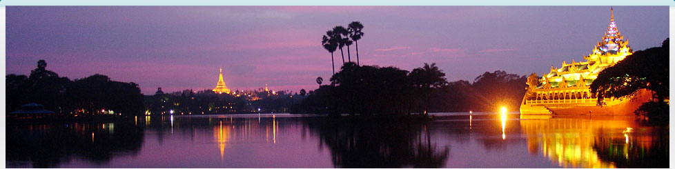
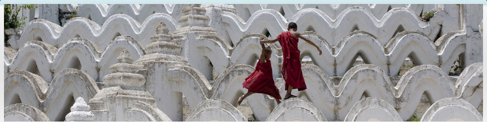
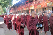
Yangon & Vicinity
The city of Yangon, known as Dagon in ancient
times is situated in the southern part of
Myanmar and is 21 miles away from the sea. The
city lies on a dagger shaped peninsula at the
confluence of the Yangon or Hlaing river, the
Pazundaung creek and the Bago river. Yangon is
now the largest and the most prominent city in
Myanmar but in originated as a small and humble
fishing village.
More ...
|
|
| |
|
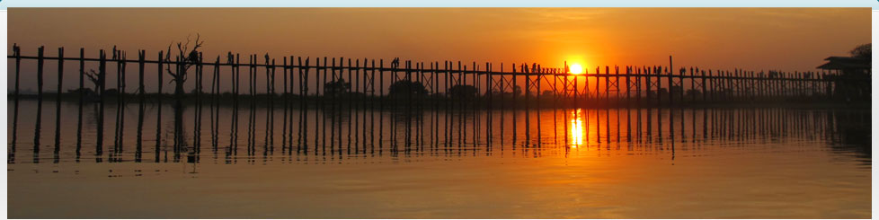
Mandalay & Vicinity
Mandalay is the commercial city of upper Myanmar
and considered the center of Myanmar culture. It was
the royal capital of the last monarchy of Myanmar.
The city earned its name after the 236m high
Mandalay Hill. The name is originated from Mandalar,
which means circular plane. It is also believed to
mean auspicious land. When it was founded in 1857,
the royal city was official named Yadanabon, which
means "The City of Gems".
More ... |
 |
| |
|
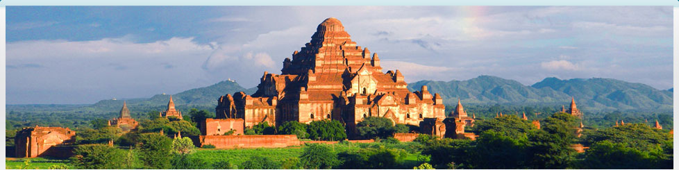
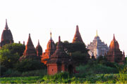
Bagan & Vicinity
Bagan was the first capital of Myanmar. The Bagan
Period was from 11th to 13th century. It is almost
contemporary with the major central and South
America countries of the Maya, and the Inca. The
first and the earliest cathedral church in France
was built in 12th century. The pagodas in Bagan is
earlier than the oldest cathedral.
More ... |
 |
| |
|
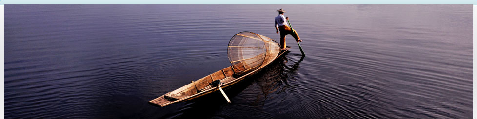
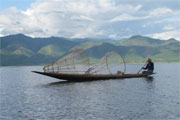
Inle & Vicinity
Inle lake is 22 km long, 11 km wide and 1328m
above the sea level. The waters of the lake are
always calm. High hills rim the lake on all sides.
Around the lake shore and on island are 17 villages.
These villages are mostly inhabited by the Intha
people, who are culturally and linguistically
separate from their Shan neighbors. The Intha are
Buddhists. There are about 100 monasteries around
the lake and perhaps a thousand stupas. The Inle
style of religious architecture and Buddhist
sculpture is strongly Shan influenced. Around 70000
people live on the shores and islands of the lake.
More ... |
 |
| |
|
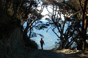
Chin Races and It’s State
Chin State is wide 18,907 sq miles. There are 9
townships and 476 villages tracts in the Chin state.
It has many hills and mountains. The plane is very
few. The rivers are flowing from north to south. The
most important river is “Chindwin” in this region.
The most famous mountain is “Victoria”. It has over
10,400 feet high. The average height of the mountain
is between 5,000 ft and 9,000 ft. Chin state is
hilly region. So the weather is cold and damp.
More ... |
 |
| |
|
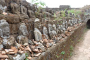
Other Interesting Places
Myanmar's second most famous archaeological site,
Mrauk U, is a centuries-old city of hundreds of
temple around which villages life thrives. The Kings
of Rakhine set up different cities around the lower
reaches of the lemyo and the Kaladan Rivers. Mrauk U
was founded in 1433 A.D by King Min Saw Mun. It was
later known as Mrohaung, meaning the "Old Capital".
More ... |
 |